
The Soldiers Trail is well marked.

Field of Dreams.

Burned-out tree had a branch here.


You can see Agassiz Peak through the trees.

Horned toad joins Ted on the trail.
Here’s staring back at you.

Theater with good ventilation.
| Fort Tuthill County Park; Flagstaff, August 7, 2018 | GPS Map | ||||||||||
|
Hadn’t hiked in over a month (long story, which includes vacation), so I was quite eager to hit the trail again. Left home before 5:00 AM, but it was already hot and hazy. I was hoping the sky would improve before I got to Flagstaff, and it did cool down from the 90s to the 60s. But Verde Valley was full of smoke and you couldn’t see the San Francisco Peaks from the approach to Camp Verde. Then I drove through thick smoke after I-17 turned from northwest to north on the approach to Flagstaff. I kept going, hoping the smoke would thin out. It did, and then went away for the second half of my hike. The Soldiers Trail makes a complete loop, but the trailhead I started from is in the middle. So I began by walking north on a dirt road that leads to the trail. Fort Tuthill was once a military base. The trail was made for soldiers. Lots of people at the beginning and end of the hike; however, on most of the loop I had the trail to myself. A pair of bicycle riders passed me, and that was all. |
|||||||||||
|
|||||||||||
|
The Soldiers Trail is well marked. |
|
|
Field of Dreams. |
|
|
Burned-out tree had a branch here. |
|
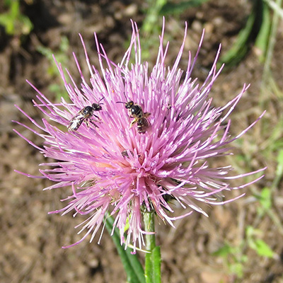
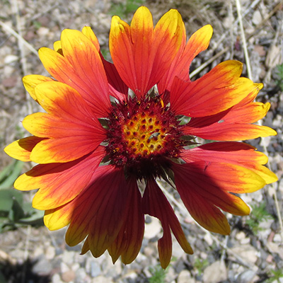
| Wildflowers were abundant after recent rains. | |
|
|
|
|
|
|
|
|
|
|
|
|
|
You can see Agassiz Peak through the trees. |
|
|
Horned toad joins Ted on the trail. |
Here’s staring back at you. |
|
Theater with good ventilation. |
|
| More Hike Pictures | updated August 7, 2018 | |