Somebody had painted PRIVATE PROPERTY on the stone on which was carved a map of
the Lost Goldmine Trail, so naturally Clara and I were reluctant to hike there. But we
saw two hikers coming down Cloudview Road, and asked them. They explained that
a realtor had done it. “We’ve hiked that trail,” they added. The
trail was still there, so we went.
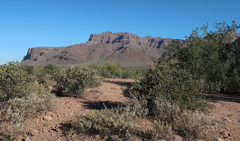
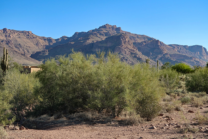
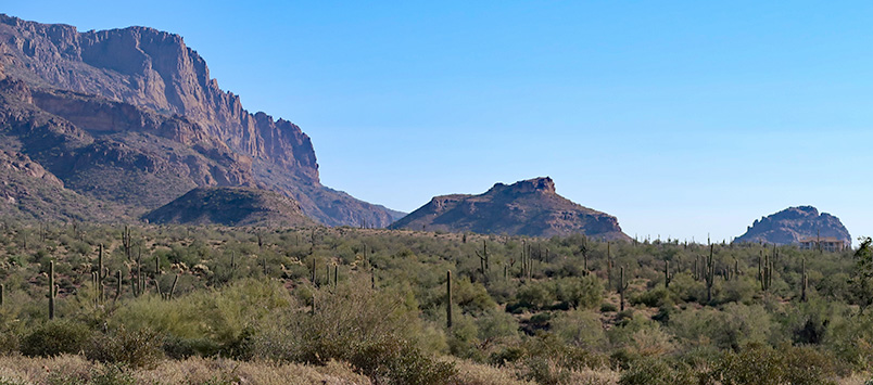
This part of the Lost Goldmine Trail used to be easy to follow, but now it’s
overgrown. Clara and I lost the trail several times on our way to the gate. Once we
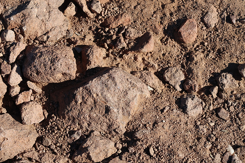
got through the gate the trail was easy to follow, but rocky. “You have to
watch your feet instead of enjoying the scenery,” she remarked.
We turned around before the corner post.
|