Idaho Pass Loop; Goldfield Mountains, September 25, 2017 | GPS Map |
Starting at first light, I was hoping to make Idaho Pass by sunrise. Made it. Although I had a headlamp with me, my night vision was enough. Slow going, down through the first arroyo and then the descent into the Idaho Canyon arroyo. There’s a hill at Idaho Pass with boulders to sit on or use for a tripod. Forest Road 10 has washouts, as does the Wolverine Pass Trail. The northern half of the trail is hard to find – worst, inexplicably, where it crosses the power line. Fortunately I had been there before. My car thermometer read 59° when I got to Idaho Access, warming up to 75° after the hike. Yet despite the beautifully cool and clear morning, I had the wilderness to myself. Thanks to God for watching over me, providing a lovely day, and letting me get to Idaho Pass before sunrise. |
![]() Lights of Apache Junction |
|
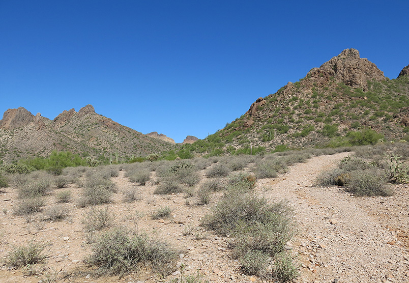
![]() Superstition Mountains before dawn. |
|
![]() I started walking as soon as there was enough light to see the trail. |
|
![]() Same scene, at the end of the hike. |
|
![]() A big bird watches me from Idaho Canyon in the pre-dawn light. |
|
![]() The Deer Tanks Trail tops out at Idaho Pass. |
|
![]() Now who says I’m snooty? |
![]() Ants go about their business. |
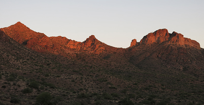
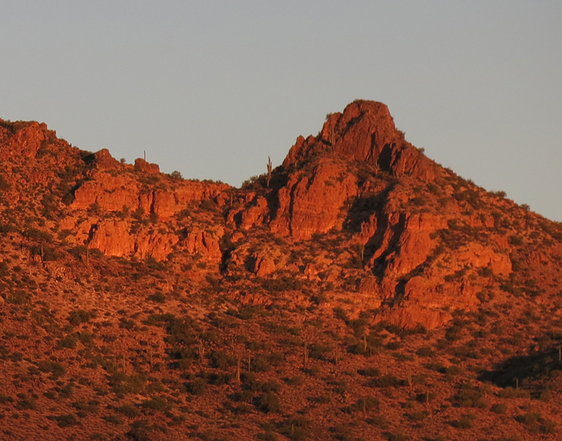
![]() Bulldog Ridge catches the first rays. |
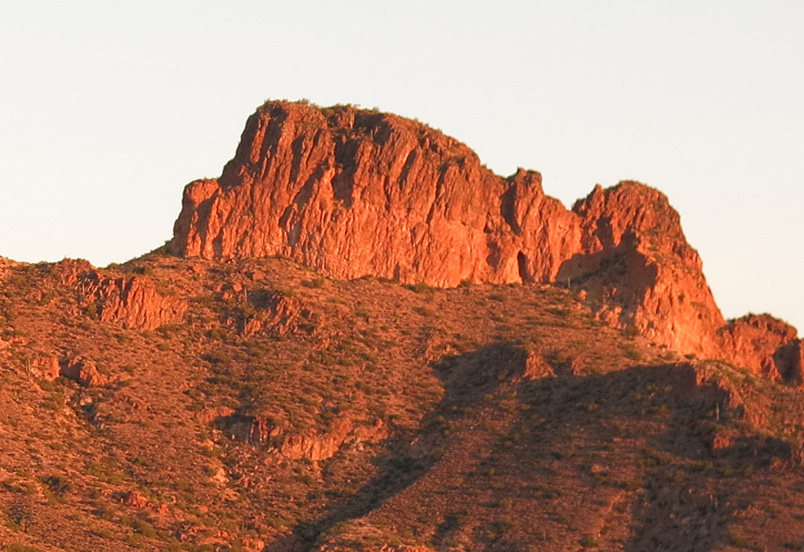
|
![]() Northern Peak 3195. |
|
![]() Temptation Peak is also 3195'. |
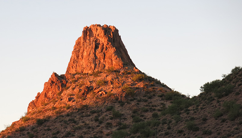
|
![]() Peak 3108. |
|
![]() Peak 3163. |
|
![]() Peak 3075. |
|
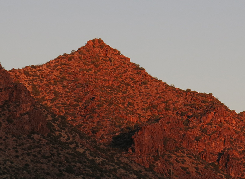
![]() Miocene volcanism, 18½ million years ago, formed Bulldog Ridge. |
|
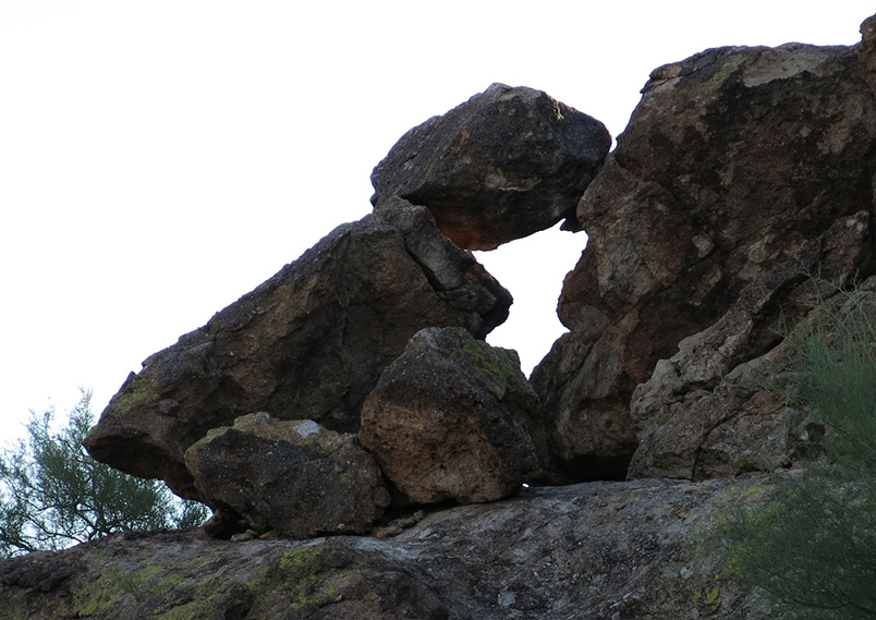
![]() Baby Turtle gives Mama Turtle a kiss. |
|
![]() Peak 3269 from Forest Road 10. |
|
![]() Opuntia fulgida - Chain Fruit Cholla |
|
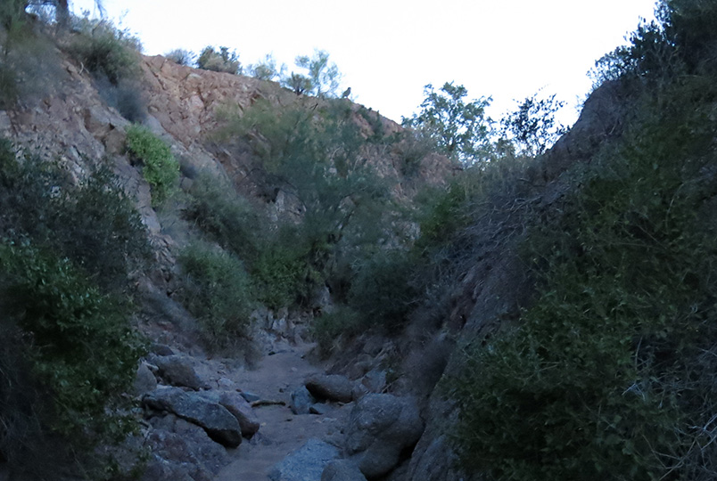
![]() The northern half of the Wolverine Pass Trail is hard to follow – but I’ve been there before. |
|
![]() Lichens adorn a boulder by the trail. |
More Hike Pictures | updated September 25, 2017 |