Moon Rock and Lost Sheep Trails; Usery Park, February 28, 2019 | GPS Map | ||||||||||
There are still many trails in Usery Mountain Regional Park that I haven’t taken, so today would be a good time. I started from the access gate at Crismon and McKellips and walked the loop clockwise, on the Levee, Moon Rock, Lost Sheep, Chain Fruit, Blevins, Noso, Channel, and Levee Trails. Fortunately there are signs at all the junctions. Lots of people on the trails: hikers, runners, and bicycle riders. No wonder, on such a fine day! Mine was the first car at Crismon Trailhead, but another pulled up in the pre-dawn light. When I returned, the place was packed. |
|||||||||||
|
![]() Looking east from Chrismon Trailhead shortly after my arrival. |
|
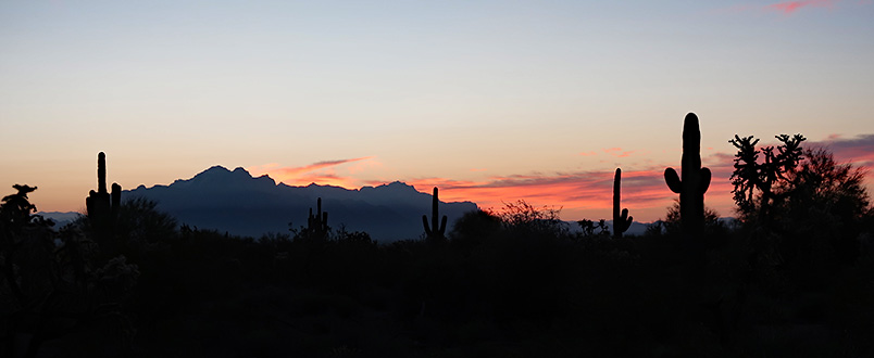
![]() Superstitions and the rosy fingers of dawn. |
|
![]() Pre-dawn in the desert, looking southeast. |
|
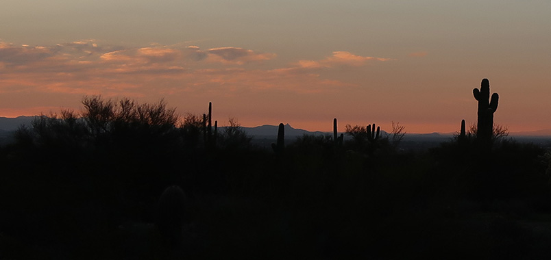
![]() Userys catch the first rays. |
|
![]() The horizontal yellow stripe on Pass Mountain is the Geronimo Head Formation. |
|
![]() Usery Mountains in the early morning sun. |
|
![]() Just us, the coyotes, and the rattlesnakes. |
|
![]() Hooo! Hooo! |
|
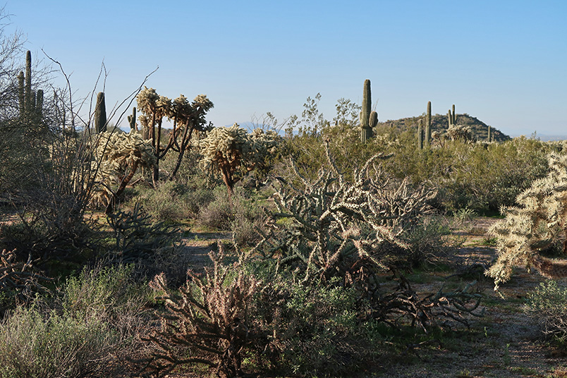
![]() Healthy Sonoran vegetation. |
|
![]() Headquarters Hill and Peak 3127. |
|
![]() I’m the boss around here. |
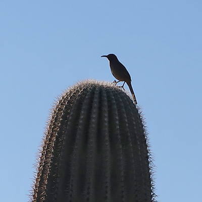
![]() But this is my saguaro. |
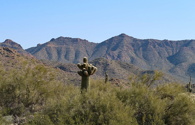
![]() Multi-branched saguaro salutes Bulldog Ridge. |
|
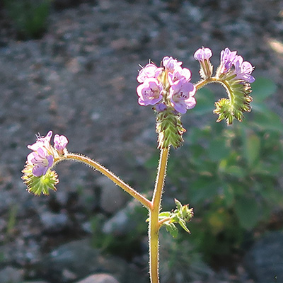
![]() Phacelia crenulata - Cleftleaf Wildheliotrope |
![]() Amsinckia menziesii var. intermedia - Fiddleneck |
![]() Eschscholzia californica ssp. mexicana - California Poppy |
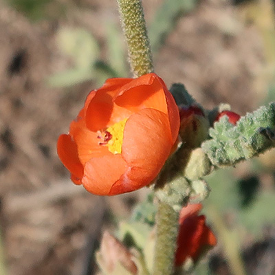
![]() Sphaeralcea emoryi - Emory’s Globemallow |
More Hike Pictures | updated February 28, 2019 |