
Profile of the Superstition Mountains before sunrise. [photo by Clara]
Lights of Apache Junction. [photo by Clara]
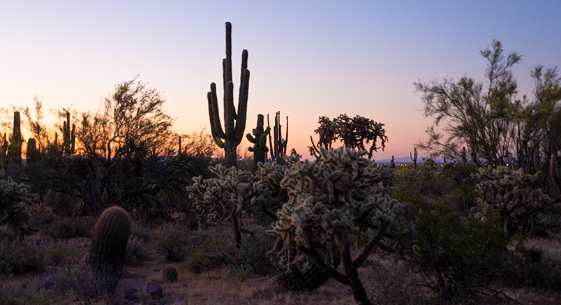
Sonoran vegetation in the pre-dawn light. [photo by Clara]

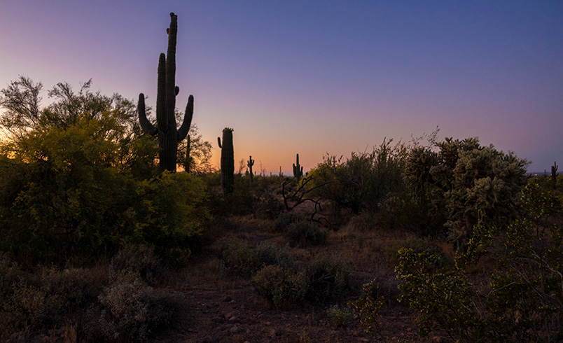
And then came the dawn. [photo by Clara]

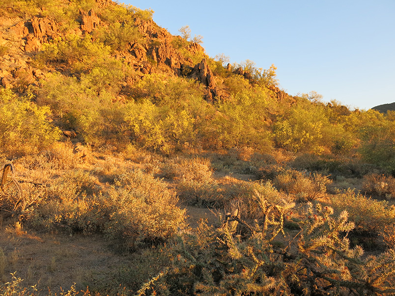
South Cat Peak catches the first rays.
North end of the south peak.
North Cat Peak.
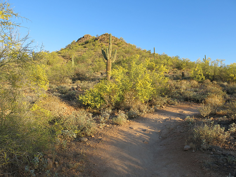
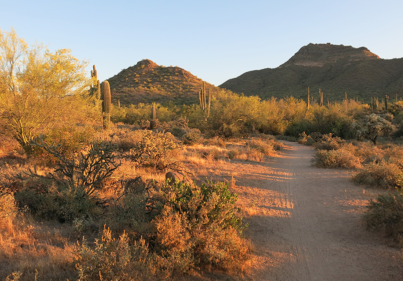
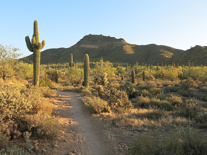
Cat Peaks Trail.

Ocotillo.
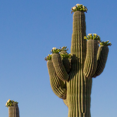
Saguaro. [photo by Clara]
Pass Mountain.

Clara and her father. [photo by Clara]

Shadows of Clara and her father. [photo by Clara]

San Tan Mountain.

Hiking the Blevins Trail. [photo by Clara]